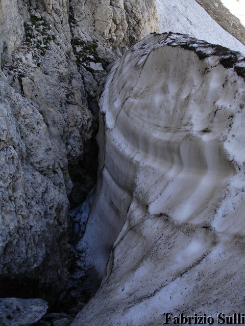
Snowfield at the mouth of the amphitheater of the Murelle.
Photos taken in 2008 click here
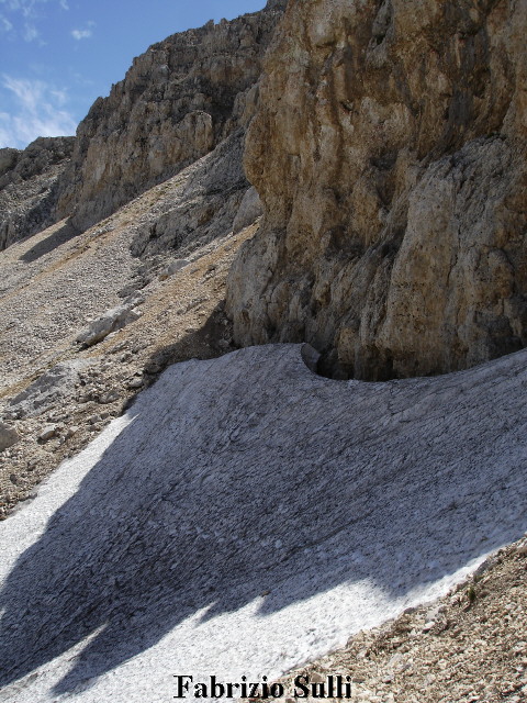
In this photo you can see, in the top left section, a probable rock glacier (fossil?), with a possible flow of permafrost.
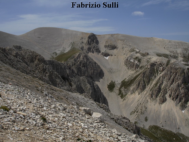
The snowfield we are talking about is small, situated at the mouth of the glacial circle on the amphitheater of the Murelle, which gets its name from the peak of the Murelle, 2596 m., under a rock wall of the high side of the circle, that helps to protect it from sun-rays, at an altitude of approximately 2550 m.
Its thickness is much more under the wall of rocks (6 – 7 m.?) and decreases gradually as it descends towards the valley, where we can see a beginning of snow-moraine. The supply is direct, but also from the avalanches of snow that precipitate from the wall overhead and from the scree above it.
The snowfield is crossed by the 5D trail on the map of the CAI group of the Maiella.
To reach it you must start from the Pomilio shelter, and after going to the bivouac Fusco, you have to ascend the amphitheatre of the Murelle up to the snowfield at your right at the mouth of the narrow valley. Or follow the trail 5D from the Fusco bivouac, that crosses half way up the glacial amphitheater of Mt. Focalone, and ascends the spur that divides it from the amphitheater of the Murelle and, keeping the same altitude, goes back down the high part of the latter and, after crossing the snowfield, reaches the trail that goes to the west ridge of the Murelle peak.
Fabrizio Sulli
The photos were taken in 2006. In 2007 the snowfield disappeared. You can see the photos of August 30th, 2008
here.
This article was kindly revised by Dr. Massimo Pecci.
Translation by Giuseppe Petricca